On the face of it, relations between the Caribbean trade bloc’s two largest member states appear to be normal, with booming cross border trade, mutual governmental plans to bridge the border Corentyne River and daily trips by nationals of both countries seeking out friends and relatives.
But just raise the issue of which of the two South American mainland nations that are key members of the regional trading bloc owns the New River Triangle and tensions rise immediately.
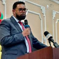
In the past week, Natural Resources Minister Robert Persaud took to the floor of the Guyana parliament during annual budget debates to tell fellow legislators that Guyana was pulling out of an international oil and gas conference in neighboring Suriname because authorities there are distributing maps showing the area as Suriname’s.
Nothing triggers a diplomatic tiff more than any ownership or territorial claim to the southeastern border area more than an official reference by a government or an official so when Guyanese authorities noticed the disputed area on Surinamese maps they went diplomatically ballistic.
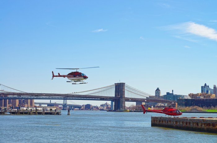
The conference is set for three days from June 17 and will bring in a single space some of the world’s largest and most important players in the energy and mining sector-the likes of Spanish-owned Repsol, Tullow Oil, Exxon, Shell and others- to discuss what is widely regarded as a basin with one of the globe’s biggest unexplored areas.
Suriname found oil onshore in the 70s when its water company was amazingly drilling for oil. It now exports and even refines oil but has struggled to tap alleged large offshore oil fields there for the taking, at least in the minds of authorities.
Neighboring Guyana on the other hand has found non-commercial quantities on land in the past 40 years but said that it remains hopeful of a big marine discovery based on the fact that a consortium involving Tullow, Repsol and Canada-based CXG Energy was forced to abandon a promising a well last year because they had unsuitable equipment to tap the deep sea well and feared an uncontrolled spill.
And so Georgetown said it has sent a so far unanswered diplomatic protest note to Paramaribo, demanding the maps be removed as a condition of its conference attendance.
The two have long feuded over the area that is a legacy of British and Dutch colonialism. In 1969, Guyanese troops armed with heavy guns and commandeered commercial aircraft chased Surinamese counterparts from the area in a military tiff that brought the two nations on the brink of all out war.
In 2000 it nearly happened again as Suriname paid back Guyana for the 1969 defeat by sending gunboats to expel a Canadian oil rig that was drilling for oil and gas in an offshore area that both had claimed. The issue has since been settled by a United Nations ruling offered a compromise to both. Arbitrators drew a new international marine boundary line that gave both a piece of an offshore areas thought to contain elephant oil fields and huge amounts of gas but the land and river boundary at current center of dispute on the southeastern border between the two continues to simmer. Suriname refers to the remote area as Tigri. Guyana has a military base there.
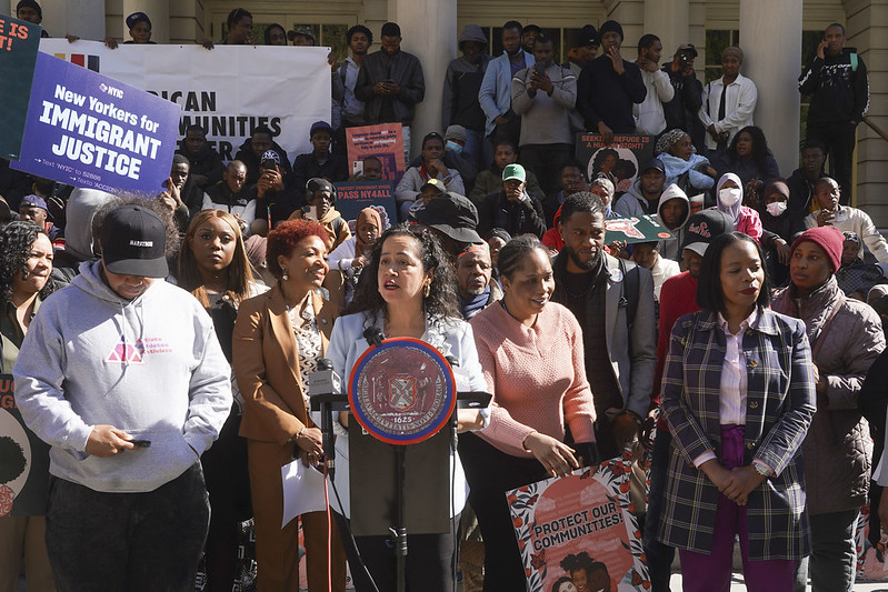
Persaud said that the documents showing the New River Triangle as Suriname’s “are a violation of our territorial integrity and an insult to the people of Guyana so we have informed them that we have withdrawn from participation.”